Koto Canals and Park Walk
Overview
The Sports Hall and Kitasuna Suijo Park lead across the Etchujima freight line to Sendaiborigawa River Park. Minami-Suna Green Road and the former Choshu cannon-foundry site continue toward Toyocho Station.
Nearby routes
Other route ideas around the same area.
Route819 m away
Sunamachi Ginza Shopping Street
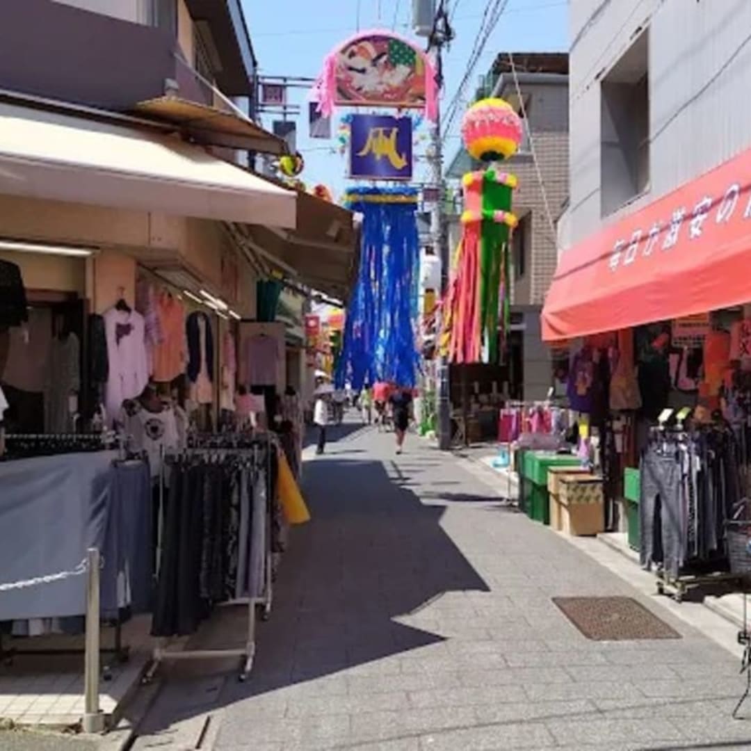
This charming shopping street is beloved by locals, offering a nostalgic downtown atmosphere. It’s known for affordable and delicious street food, including croquettes, yakitori, and taiyaki. It’s a great spot for tourists to experience the local lifestyle and taste traditional flavors.
Koto City, Tokyo648 m route

Walk1.4 km away
Kiba to Toyosu Waterfront Walk
Kiba Park opens a waterside route through Shiohama Park to Toyosu Market and the Gururi Park promenade. The path returns through Etchujima Park, the Fukagawa Edo Museum, and Kiyosumi Garden.
12 km route
Walk1.5 km away
Kameido Shrines and Temple Walk
From Kameido Station, pass Kameido Ume Yashiki on the way to Katori Shrine and Koto Tenso Shrine. Ryuganji Temple and Kameido Tenjin Shrine complete the neighborhood heritage route.
3.7 km route

Walk1.8 km away
Oyokogawa Water Park to Skytree Walk
Sumida Triphony Hall leads into Oyokogawa Water Park. The waterside route continues toward Tokyo Skytree Station.
Sumida City, Tokyo1.7 km route