Toshima Village Central and West Roads
Overview
Explore Toshima Village's central and western roads through the agricultural cooperative branch and Azusawakenomikoto Shrine. Yoshidaya Main Store, Eirakuya, and the post office provide further village stops along the short street itinerary.
Nearby routes
Other route ideas around the same area.
portable shrine134 km away
Akasaka Hikawa
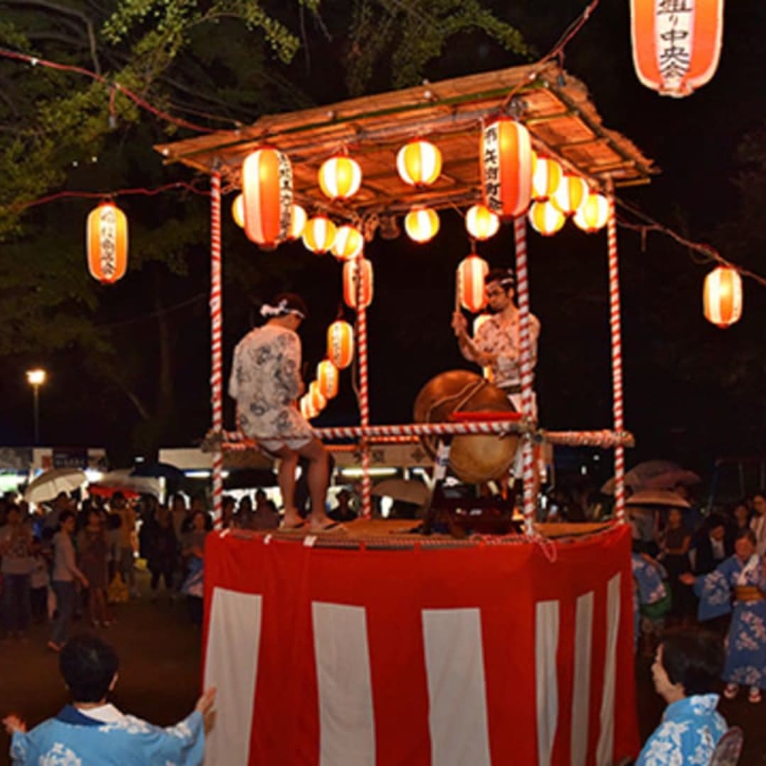
Akasaka Hikawa Shrine was originally established in 951 near the entrance of Hitotsugi Street. During the Edo period, the shrine gained the deep reverence of the eighth shogun, Tokugawa Yoshimune, because the Kishu Domain had a residence in Akasaka. In 1730, the shrine was relocated to its current site, and records show that its annual festivals flourished from that time onward. The shrine’s most important ritual is the Reisai (Annual Festival), held on September 15. The lively events that take place around this ritual—such as parades of mikoshi (portable shrines) and floats, bon dances, and food stalls—are collectively called Shinnigiwai, and together they form what is known as the Akasaka Hikawa Festival. This year, the festival is scheduled for three days, from Friday, September 13 to Sunday, September 15. On the 13th, the Yoimiya Parade will feature the Hikawa float and local mikoshi against the backdrop of the evening streets. On the 14th, the Children’s Parade will showcase children carrying mikoshi along with a taiko float. On the 15th, the Shinkosai (Grand Procession) will unite five Hikawa floats and the shrine’s main mikoshi for a large joint parade.
Minato City, Tokyo2 km route
Route136 km away
Tatsumi Shindo
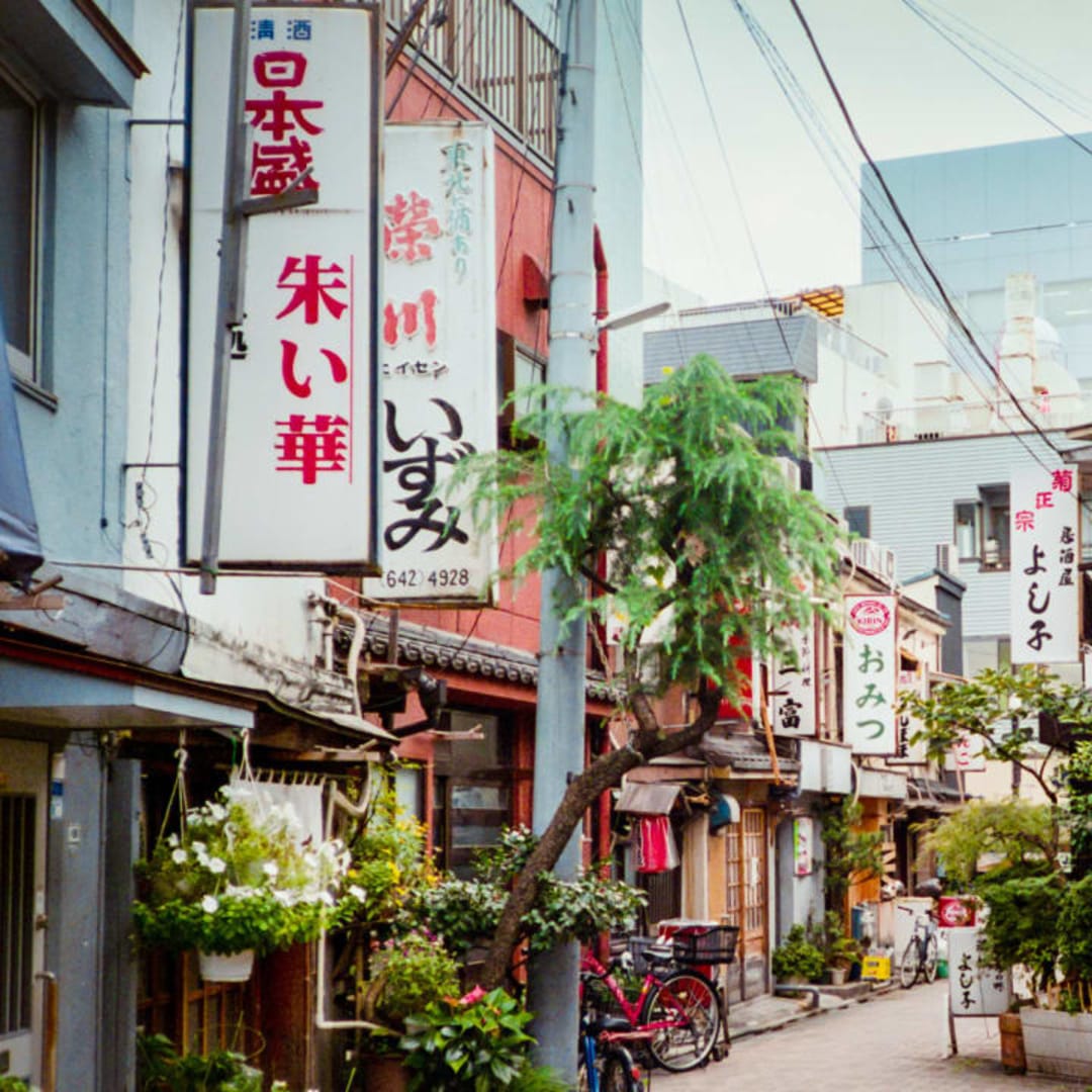
This retro shopping street exudes a nostalgic Showa-era charm, lined with traditional izakayas that evoke the good old days. The atmosphere feels like stepping back in time, attracting visitors who enjoy bar hopping and soaking in the vintage vibes.
Koto City, Tokyo90 m route
Route136 km away
Art & Edo Culture Walk in Kiyosumi-Shirakawa
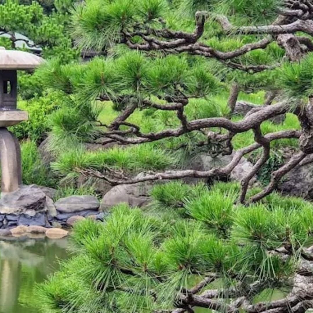
Starting from Kiyosumi-Shirakawa Station, this walking route begins with the serene beauty of Kiyosumi Gardens, a traditional Japanese landscape garden. Stroll through the nostalgic Fukagawa Shiryokan Street Shopping District, then step back into the Edo period at the Fukagawa Edo Museum, where everyday life of the era is vividly recreated. Next, immerse yourself in contemporary creativity at the Museum of Contemporary Art Tokyo (MOT), and finish your journey with a relaxing walk through the spacious greenery of Kiba Park. This course perfectly blends Edo history, downtown culture, modern art, and nature.
Koto City, Tokyo1.4 km route
Route136 km away
Fukagawa Shiryokan-dori Shopping Street
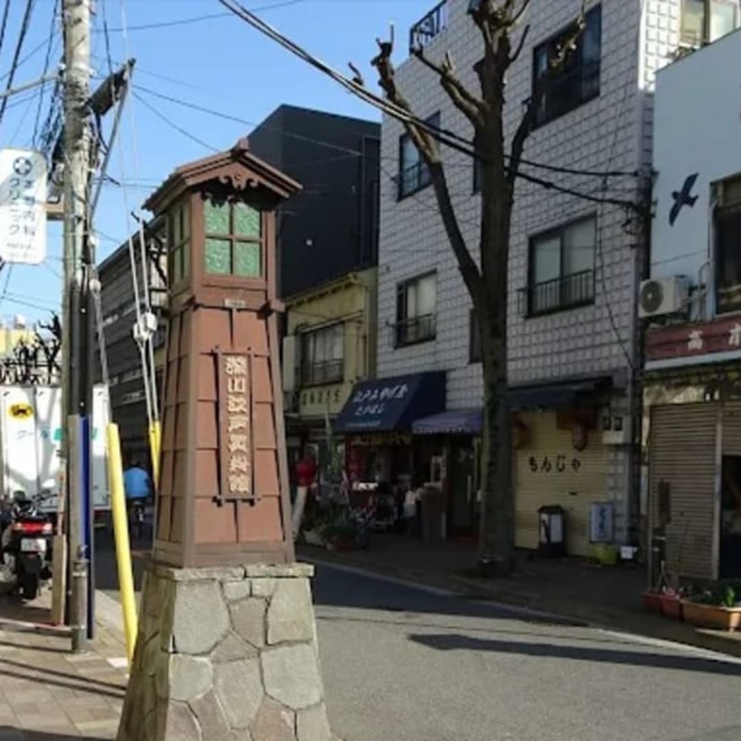
Adjacent to the Fukagawa Edo Museum, this shopping street retains a strong downtown atmosphere. It is lined with small eateries and souvenir shops, bustling with both tourists and locals. Visitors can enjoy street food while strolling, and regular events make it a lively spot for both sightseeing and shopping.
Koto City, Tokyo683 m route